Hiking Trails And Other Historical Icons In Wears Valley (And Townsend)
Wears Valley Mountain Bike Trail System
April 8, 2022
Motorcycling Through The Tennessee Smokies | Destination For Bikers
May 1, 2022As far as the hiking and historical relevance scene in the Tennessee Smokies of Sevier County goes, the lion’s share of attention skews towards Gatlinburg with the Townsend-adjacent Cades Cove being the only major outlier for being the first things people think of when they think of attractions in the Great Smoky Mountain National Park. While lesser-known, Wears Valley and the aforementioned Townsend, TN, have our own collection of hikes, sights and structures that give off that old-fashioned Appalachian spirit our visitors and locals crave when it comes time for Summer family vacations or the Harvest Festival seasonal bliss of Autumn.
In this post, we’ll highlight some of our hiking trails and a few other items of natural, historical interest with descriptions coming from some of the more in-depth websites that do a great job covering information on these items. Take a look:
Little Greenbrier Trailhead
Hiking Project writes:
“Since this trail begins on the park boundary, it’s a great trail even if most of the park roads are closed due to high water or snow. Even though it is easy to get to and has beautiful views, this trail is rarely used, so it is great if you are looking to get away from the crowds. As you start to work your way uphill, you get your first taste of what the majority of the trail will be. This trail climbs almost 2000 feet from where the trail starts at Wears Cove to Laurel Falls Trail. Its a continuous climb, but most people agree its not hard. As you work your way along the park boundary, you catch glimpses into Wear Cove, which lies outside the park. You’ll continue in and out of the park as you follow the trail. When you reach 1.9 miles, you reach Little Brier Gap. You can take a right turn and work your way down to the Walker Sisters homesite, about .6 miles from the gap. It’s a quick side trip, but worth it if you haven’t visited the site on another outing. If you’ve been there before, continue your trek straight ahead to begin climbing Chinquapin Ridge.
You’ll work your way up the ridge as it begins to wind through the mountains. When you look into Wear Cove, you’re looking into one of three valleys in the area. Coves like Wear, Cades, and Tuckaleechee were all opened when softer rock, like phyllite, was worn down and the valleys opened up.”
See this full page at https://www.hikingproject.com/trail/7008279/little-greenbrier-trail.

Curry Mountain Trailhead
Hiking Project writes:
“Park at the Metcalf Bottoms picnic area, roughly 9.5 miles from Sugarlands Visitor Center. If you are coming from the Townsend “Y,” the trailhead is about 8 miles up the Little River Road.
Cross the Little River Road and hike 100 yards toward Sugarlands until you see the trailhead on your right. Your trail starts climbing immediately as it follows an old logging road up the sides of Curry He and Curry She Mountains. You’ll pass through rhododendron groves as you parallel the road. The trail gets grassy and rocky until you enter a forest of eastern hemlock trees. Even though the forest is thick at this point, the trail opens up and wildflowers, specifically crested dwarf iris, line the trail. As you start to enter the hemlocks again, keep an eye open for piles of stone that indicate early settler homesites or fields.
At about 1.9 miles, you’ll cross Curry Gap between the two Curry mountains. After you pass through the gap, the trail climbs steeply for about 1/3 of a mile before it finally levels out. The grass on the trail changes into pine needles as you move through a pine forest. Downed trees in this area have opened up views of Sugarland Mountain and Mount LeConte to the east. The road in this area was used for a long time, and the original road bank can rise to about your shoulders due to erosion and poor drainage. As the trail reaches the junction with the Meigs Mountain Trail, the trail widens a bit.”
See this full page at https://www.hikingproject.com/trail/7008061/curry-mountain-trail.
Metcalf Bottoms Trail Trailhead
Hiking Project writes:
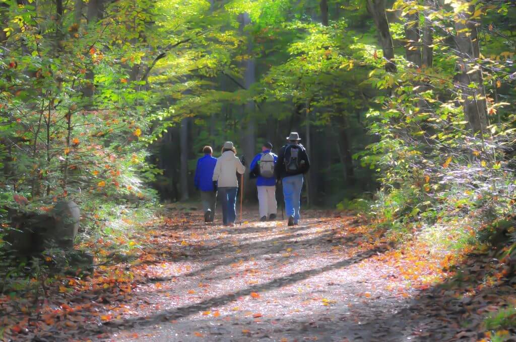
“The trailhead starts in the Metcalf Bottoms Picnic Area. Park in the picnic area before making your way across the bridge crossing the Little River, and then the trail takes off to the right.
This trail wanders through the Metcalf Bottoms area and evidence of the past can be found around every turn. As the trail leaves the picnic area, a pile of rocks off to the left are evidence of an old homesite. The trail reaches the top of a small hill, enters a rhododendron tunnel and starts to follow the Little Brier Branch. The trail is pretty much level at this point making for a pleasant journey through the woods. Several creek crossings are easily traversed by foot logs and the trail finally climbs up a small slope to arrive at the Little Greenbrier School.
Once you have explored the school building and the cemetery that is up the hill from the school, the trail returns to the Metcalf Bottoms Picnic Area. If you want to continue exploring the area, you can take the Little Brier Gap.”
See this full page at https://www.hikingproject.com/trail/7008307/metcalf-bottoms-trail.
Lumber Ridge Trailhead
Hiking Project writes:
“If you are headed to Cades Cove, at .2 miles from the Townsend “Y,” turn left onto Tremont Road and follow the road for 2 miles until you get to Tremont Institute, where you can park. The trail starts behind the dorm that is up the gravel road from the institute.
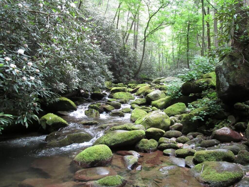
The trail starts climbing immediately, and will continue until about 2.5 miles into the route after gaining about 1200 feet of elevation gain. While there is a lot of climbing, its an easy trail to get to and a quiet trip once you get there. A little over .25 miles into the climb, you’ll start to get views of the Middle Prong of the Little River and glimpses of Walker Valley. After the first half mile, the views fade and you start your quiet journey through woods as the sounds of cars and Tremont fade. You’ll pass through a pine forest around 1 mile, where you can witness the work of the Southern pine bark beetle. Even though it burrows through the outer bark and feeds on the inner bark of a tree, this is part of the natural cycle here as room for the next generation of trees is made. You continue to move up Mill Ridge as you move between cool, moist valleys and dry ridges.
Once you reach about 2.5 miles, you cross the saddle, a low point on Lumber Ridge. This saddle is a nice place to take a break after all of your climbing. The trail will descend until it levels out around the 3 mile mark. The final mile of the trail is relatively flat as you make your way to Buckhorn Gap. You’ll pass through stands of oaks, huckleberries, and other trees, causing it to be a popular place for animals to find food. You’ll finally arrive at Buckhorn Gap where the trail meets the Meigs Creek Trail and the Meigs Mountain Trail.”
See this full page at https://www.hikingproject.com/trail/7008247/lumber-ridge-trail.
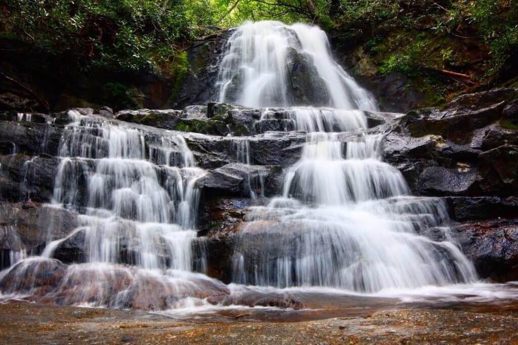
Laurel Falls Trailhead
Hiking Project writes:
“From the Sugarlands Visitor Center, go 3.8 miles on the Little River Road. The main parking lot for Laurel Falls is on both sides of the road at the trailhead, with additional parking in lots on either side of the gap. From the Townsend “Y” intersection, take the Little River Road 13.7 miles to the Laurel Falls Trailhead.
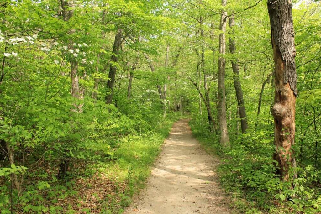
The first portion of the Laurel Falls Trail is one of the most popular hikes in Great Smoky Mountains National Park due to it being paved, having only 300 feet of elevation gain, and a rewarding view of 80 foot Laurel Falls 1.1 miles into the trail. However, once you pass the falls, you have a relatively quiet hike in the woods to the top of Cove Mountain, where there is an old fire tower with limited views into Wears Valley, an area outside of the park.
As you start from the parking lot, follow the paved trail to Laurel Falls, an 80 foot waterfall that offers great photo opportunities, despite the number of people who will probably be there. Once you have taken all of your photos, continue on the trail up the hill. This is the beginning of your 2.9 mile climb to the top of Cove Mountain. You’ll wind through a quiet forest, some areas which were not heavily logged by the various lumber companies in the early 1900s. About three miles into the trail, you’ll find the intersection of the Little Greenbrier Trail, which you can take down to the Little Greenbrier School and Metcalf Bottoms via the Little Brier Gap Trail.”
See this full page at https://www.hikingproject.com/trail/7008245/laurel-falls-trail.
The Sinks
Smokymountains.com writes:
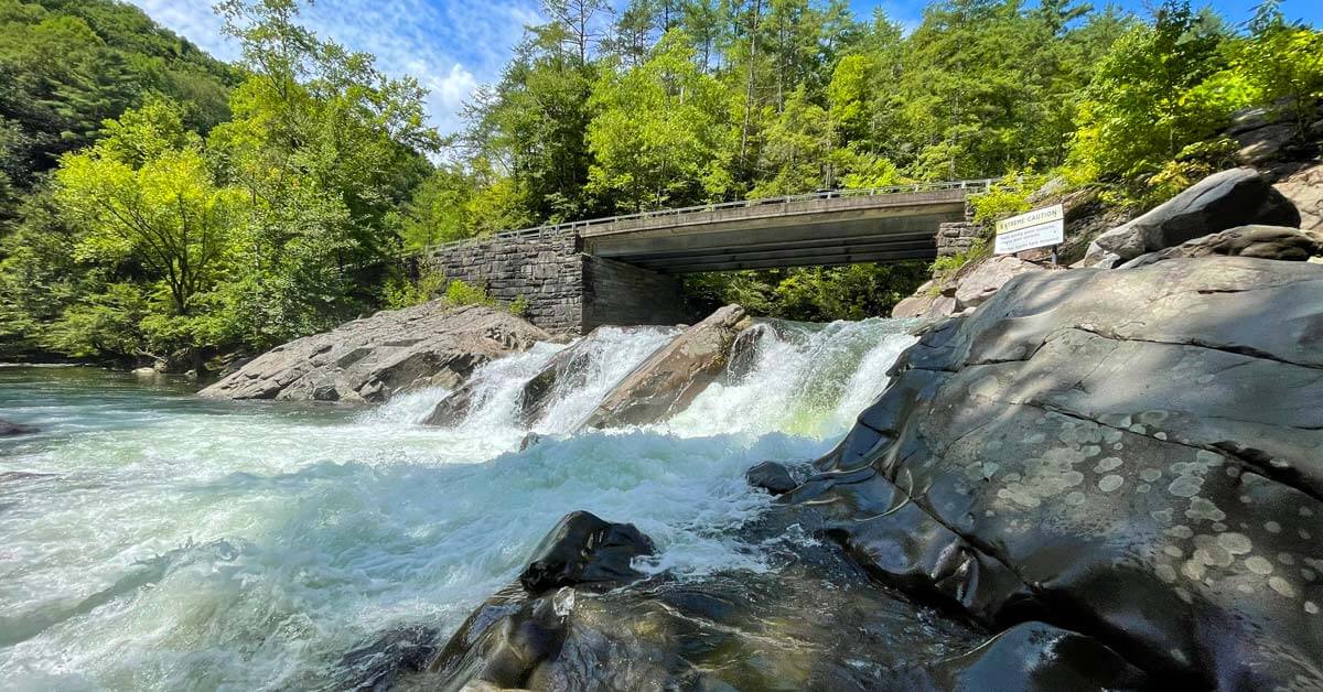
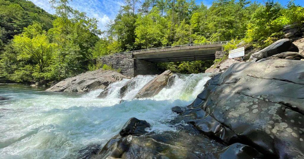
“The Sinks area of the Smoky Mountains National Park is one of the most picturesque spots along the Little River Road scenic drive. This area, which is 12 miles west of the Sugarlands Visitor Center, offers visitors the chance to see Mother Nature at her finest!
The Sinks formed where a beautiful mountain river makes an S-turn creating natural pools that are outlined on both sides by humongous river boulders. How was it created? Well, the Little River actually provided access to loggers back in the day. One day, the logs jammed the river and got stuck–oh no, right? So, what were the loggers to do? One solution, dynamite. Those quick-thinking loggers and their explosion blasted the bend and created a whole new route of access–therefore, creating “The Sinks.” Now, it offers crystal clear water, natural pools, and a waterfall that make this an excellent spot to get out of the car and stretch your legs.”
See this full page at https://smokymountains.com/park/things-to-do/the-sinks/.
Little Greenbrier School
Friends Of The Smokies writes:
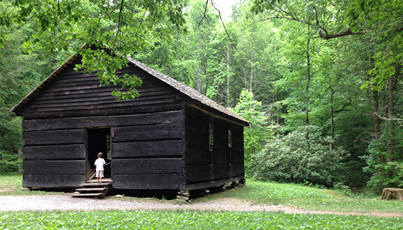
Visiting the Little Greenbrier School in the Metcalf Bottoms area is a great way to step back in time – and an opportunity for some hiking, too. Little Greenbrier School was built in 1882 and used as a community school until 1936. Just sitting in the school gives you a perspective of the school experience in the early 1900s – with wooden desks and a real blackboard (boards painted black). For a more complete school experience, attend one of Robin Goddard’s presentations at the school on Tuesdays at 11 a.m. and 2 p.m. Goddard is at the school on Tuesdays from 8:30 a.m. to 6 p.m. for the presentations and to answer questions.
The walk to Little Greenbrier School from the Metcalf Bottoms parking lot on the Metcalf Bottoms Trail is a reminder of the kind of walking that school children did to reach school in the days before school buses and parents driving children to school. The roundtrip walk from the parking lot is about 1.5 miles. The trail has a few hills but not steep climbs. Some sections of the trail have exposed roots. You’ll be able to enjoy the creek that runs beside much of the trail, walk across two log bridges, and see a variety of plants and trees.
See this full page at https://friendsofthesmokies.org/blog/little-greenbrier-school-robin-goddard/.
Walker Sisters Place
Wikipedia writes:
“The Walker Sisters Place was a homestead in the Great Smoky Mountains of Sevier County, in the U.S. state of Tennessee. The surviving structures— which include the cabin, springhouse, and corn crib— were once part of a farm that belonged to the Walker Sisters— five spinster sisters who became local legends due to their adherence to traditional ways of living. The sisters inherited the farm from their father, and after the Great Smoky Mountains National Park was formed in the 1930s, they obtained a lifetime lease. The National Park Service gained control of the property in 1964 when the last Walker sister died. The surviving structures were placed on the National Register of Historic Places in 1976. The Walker Sisters Place is located at the upper (northern) end of Little Greenbrier, a narrow valley carved into the southwestern slope of Cove Mountain by Little Brier Branch. The flat in which the cabin and outbuildings are situated has since become known as Five Sisters Cove. Cove Mountain rises to the north and east, and the southwestern flank of Cove Mountain, known as Little Mountain, rises to the west. The Little Brier Gap Trail connects the area to the Metcalf Bottoms picnic area along Little River Gorge Road to the south, and a gravel maintenance road connects the area to Wears Valley Gap Road (which accesses Wears Valley) to the west. The Cove Mountain Trail connects the area with the Sugarlands Visitor Center opposite Cove Mountain to the east.”
See this full page at https://en.wikipedia.org/wiki/Walker_Sisters_Place.
